
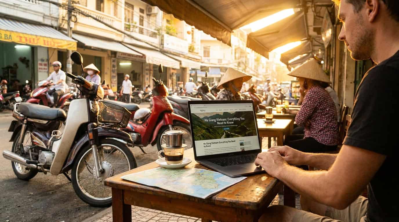
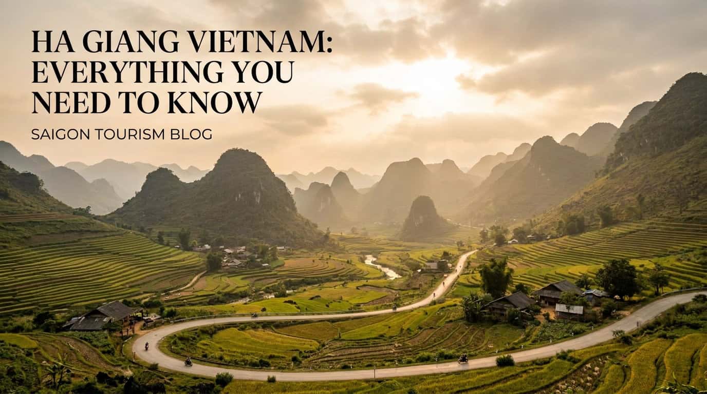
Ha Giang Vietnam is the country’s northernmost province and the single most spectacular road trip destination in Southeast Asia, with 277 km of mountainous border shared with China, a UNESCO Global Geopark covering 2,356 km² of jagged limestone karst, and the legendary 350 km Ha Giang Loop that an estimated 180,000+ international travelers ride every year. If you have heard whispers about “the last frontier of Vietnam,” this is the place. This 2026 guide covers everything a foreign visitor needs — when to go, what it costs in VND, how to get there from Hanoi or Saigon, whether the famous mountain passes are actually dangerous, and how to plan a trip that respects the H’Mong, Tay, and Dao communities who call these mountains home.
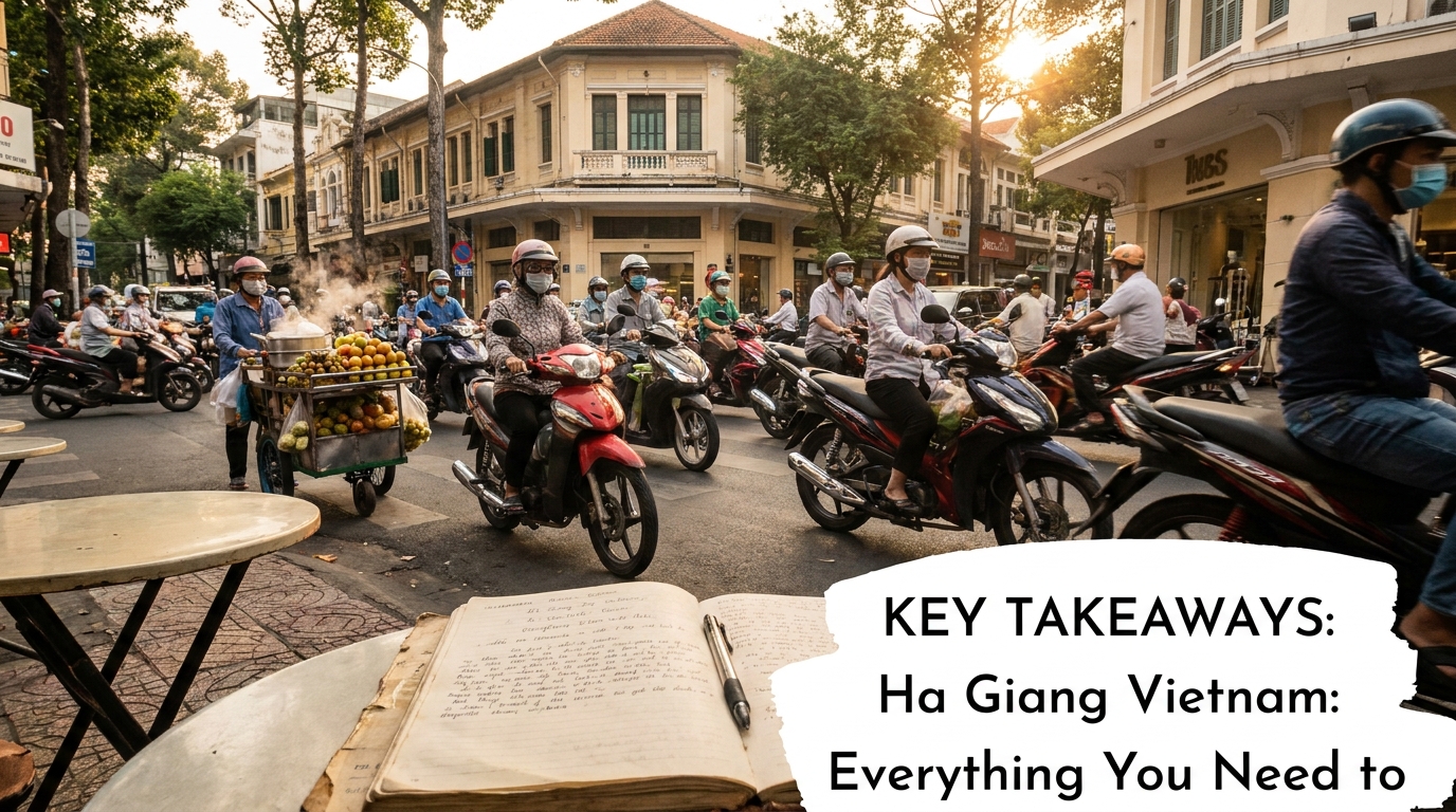
Key Takeaways
- Location: Vietnam’s far north, 320 km from Hanoi, sharing 277.5 km of border with Yunnan and Guangxi provinces in China.
- Best months to visit: September–November (rice terraces gold) and October–December (buckwheat flowers); avoid June–August (heavy rain, landslides).
- The Loop: A 350 km motorbike circuit through Ma Pi Leng Pass, Dong Van Karst Plateau, and Lung Cu flag tower — typically 3–4 days.
- Cost: Budget travelers spend 1,200,000–1,800,000 VND/day (~US$48–72), including bike, fuel, food, and homestay.
- Permit required: Foreign visitors still need a border-area travel permit (250,000 VND / ~US$10), arranged on arrival in Ha Giang City.
- Safety: The roads are narrow and steep but not technically dangerous if you ride sober, in daylight, and at moderate speed.
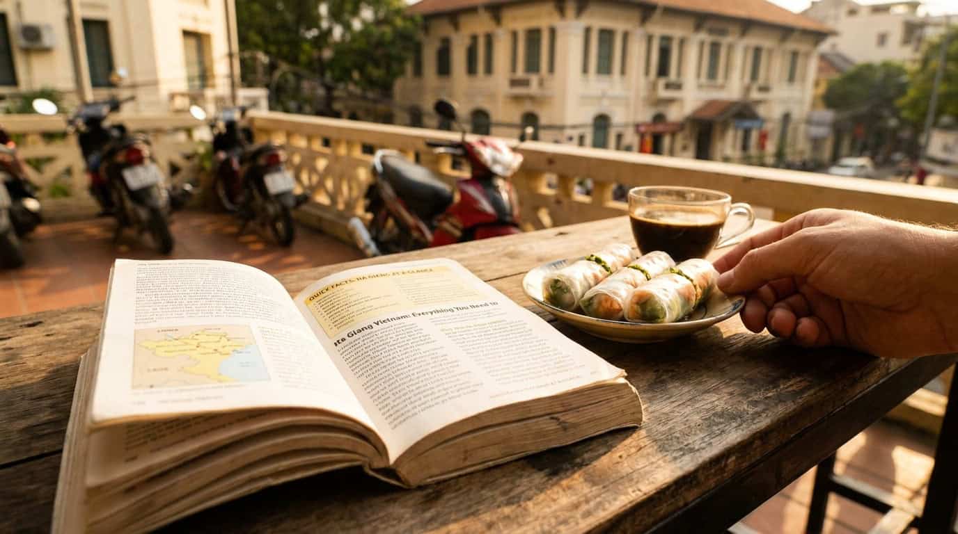
Quick Facts: Ha Giang Vietnam at a Glance
| Detail | Information |
|---|---|
| Province capital | Ha Giang City |
| Distance from Hanoi | 320 km (6–7 hours by night bus or limousine van) |
| Border with China | 277.5 km (Yunnan and Guangxi) |
| Highest peak | Tay Con Linh (2,427 m) |
| Loop length | ~350 km, 3–4 days recommended |
| Best season | Sep–Dec (terraces, buckwheat, dry roads) |
| Worst season | Jun–Aug (monsoon, landslides) |
| Border permit | 250,000 VND (~US$10) |
| Daily budget | 1,200,000–1,800,000 VND (~US$48–72) |
| Currency | Vietnamese Dong (VND) |
What Makes Ha Giang Vietnam So Special?
Ha Giang Vietnam is famous for three things that exist almost nowhere else on Earth in this combination: a sea of grey limestone karst peaks that look like a stone forest seen from space, vertical rice terraces carved by ethnic minority communities over four centuries, and one of the last great open roads in Asia where you can ride for an entire day without seeing a chain hotel or a fast-food sign.
The province sits on the Dong Van Karst Plateau, recognized by UNESCO as a Global Geopark in 2010. The rocks here are 400–600 million years old — older than dinosaurs by a comfortable margin. About 80% of the population belong to ethnic minorities, including the H’Mong, Tay, Dao, Nung, Lo Lo, and Pu Peo, each with distinct dress, language, and architecture. Walking through a Sunday market in Dong Van or Meo Vac is genuinely the closest thing to time travel that mainstream tourism offers in 2026.
If you are stitching together a longer Vietnam itinerary, see our northern Vietnam route planner and our overarching Vietnam visa guide for foreigners before you book flights.
When Is the Best Time to Visit Ha Giang Vietnam?
The honest answer: late September through early December. This window catches the golden rice harvest (mid-September to mid-October) and the famous pink-and-white tam giac mach buckwheat blooms (mid-October to early December). Daytime temperatures sit around 18–24°C, evenings dip to 8–12°C, and the roads are dry.
A month-by-month overview:
- January–February: Cold (sometimes 0–5°C at night), frost on the high passes, occasional ice. Beautiful peach blossoms during Tet but logistics are tricky because locals are with family.
- March–April: Mild, plum blossoms, fewer tourists. A sleeper-favorite season.
- May: “Water-pouring” season — terraces are flooded and mirror-like. Stunning for photography.
- June–August: Monsoon. Expect daily downpours, landslides, and closed roads. Avoid if possible.
- September–October: Peak season. Gold rice terraces. Book homestays 3–4 weeks ahead.
- November–December: Buckwheat season and dry, clear air. Often considered the most photogenic period.
According to the Vietnam National Authority of Tourism, shoulder-season arrivals in Ha Giang grew 34% between 2023 and 2025 as travelers tried to escape the peak-month crowds.
How to Get to Ha Giang from Hanoi or Saigon

There is no airport and no train station in Ha Giang. Every traveler arrives by road. The two practical options:
From Hanoi (most common):
– Limousine van: 9-seater minibuses leave from My Dinh and Gia Lam stations. Cost: 280,000–350,000 VND (US$11–14). Duration: 6 hours.
– Sleeper bus: Overnight, departs ~21:00, arrives ~04:30. Cost: 250,000–300,000 VND. Bring a hoodie — the A/C is brutal.
– Private car: 2,500,000–3,500,000 VND for the vehicle (US$100–140). Worth it for groups of three or more.
From Saigon (Ho Chi Minh City):
There is no direct option. Fly Saigon → Hanoi (1,200,000–2,400,000 VND on Vietjet or Bamboo, ~2 hours), then take a van or sleeper bus north. Most travelers stay one night in Hanoi to break the journey. If you are starting in District 1, see our things to do in Ho Chi Minh City and our complete Saigon itinerary for first-timers for a 2–3 day stopover.
The Ha Giang Loop: A 3–4 Day Itinerary
The loop is what put Ha Giang Vietnam on the international travel map. The classic counter-clockwise circuit:
Day 1 — Ha Giang City → Yen Minh → Dong Van (150 km, ~6 hours)
Stop at Quan Ba Heaven Gate and the “Twin Mountains” viewpoint. Lunch in Yen Minh’s pine forest. Continue through Tham Ma Pass — the road where the iconic switchback photos are taken.
Day 2 — Dong Van → Lung Cu → Meo Vac (90 km, ~5 hours with stops)
Morning ride to Lung Cu flag tower, Vietnam’s northernmost point — you can literally see China from the watchtower. Visit Vuong Family Palace (the H’Mong King’s house, built 1898). Afternoon: Ma Pi Leng Pass.
Day 3 — Nho Que River boat + Meo Vac → Du Gia (70 km)
Morning kayak or boat ride on the Nho Que River through Tu San Canyon (the deepest canyon in Southeast Asia, walls rising 700–900 m). Afternoon: ride to Du Gia village for a waterfall swim and a H’Mong homestay.
Day 4 — Du Gia → Ha Giang City (70 km)
Easy ride back through Mau Due and Lung Tam linen village. Return your bike by 18:00 to catch the evening bus to Hanoi.
How Much Does Ha Giang Vietnam Cost in 2026?
Budgets in VND (with rough USD equivalents):
| Item | Budget | Mid-range | Comfort |
|---|---|---|---|
| Motorbike rental (semi-auto, per day) | 200,000 VND | 280,000 VND | — |
| With “easy rider” driver (per day) | — | 700,000 VND | 1,000,000 VND |
| Homestay dorm bed | 100,000 VND | 180,000 VND | — |
| Private room | 350,000 VND | 600,000 VND | 1,200,000 VND |
| Meals (per day) | 200,000 VND | 350,000 VND | 500,000 VND |
| Fuel for the loop | ~250,000 VND total | ~250,000 VND | — |
| Border permit | 250,000 VND | 250,000 VND | 250,000 VND |
| Daily total | 1,200,000 VND (~US$48) | 1,800,000 VND (~US$72) | 3,000,000 VND (~US$120) |
Three days on the loop, including transport from Hanoi, lands most travelers between 4,500,000 and 7,000,000 VND (US$180–280) per person.
Riding the Loop: Self-Drive vs. Easy Rider vs. Tour
This is the single biggest decision you will make.
Self-drive (semi-automatic motorbike): Cheapest and most flexible. Required: a valid motorbike license (your home country license is technically not valid in Vietnam without an International Driving Permit, and travel insurance often excludes claims if you ride without one). Choose this if you have at least 50 hours of prior motorbike experience on real roads.
Easy rider (you ride pillion): A local guide drives, you watch the scenery. Roughly 700,000–1,000,000 VND/day. The right choice if you cannot ride confidently. According to public records on Hà Giang Province, motorbike accidents involving foreign tourists in the northern mountain provinces have declined since mandatory helmet enforcement and improved easy-rider licensing were introduced.
Organized tour (3–4 day group): 4,500,000–8,000,000 VND all-in. Easiest. Least flexibility on stops.
Where to Stay on the Ha Giang Loop
Homestays beat hotels here, almost universally. Recommended bases:
- Ha Giang City: Bong Bang Hostel, QT Hostel — convenient for bike pickup.
- Yen Minh: Optional overnight; most riders push to Dong Van.
- Dong Van: Lo Lo Eco Lodge, Auberge de Meo Vac (Dong Van branch) — atmospheric stone houses.
- Meo Vac: Auberge de Meo Vac (the original) is the best mid-range property in the province.
- Du Gia: Du Gia Coolbamboo Homestay — riverside, family-run, great cook.
Book directly via Booking.com or Agoda. Avoid Airbnb in this region — most listings are not properly licensed for foreign guests and check-ins can be refused.
Is the Road to Ha Giang Vietnam Dangerous?
Honest answer: the road looks dangerous and feels dangerous, but with sensible behavior the statistical risk is moderate, not extreme. The hazards are:
- Drop-offs without guardrails — Ma Pi Leng especially.
- Fog at altitude — visibility drops to 20 m within minutes.
- Other tourists riding above their skill level — the single biggest cause of accidents.
- Cattle, dogs, and small children crossing without warning.
- Wet roads after rain — limestone gets glass-slick.
Mitigations: ride only in daylight (08:00–16:30), wear a proper helmet (the ones bundled with rentals are often substandard — pay 150,000 VND extra for a full-face), keep your speed below 40 km/h on passes, never drink and ride, and confirm your travel insurance covers motorbike use.
Cultural Etiquette and Responsible Travel
Ha Giang Vietnam is home to 19 ethnic minority groups. A few small things make a big difference:
- Always ask before photographing people, especially elders and children. A simple “Chụp ảnh được không?” works.
- Buy from market vendors directly rather than haggling aggressively — most are subsistence farmers.
- Do not give money or sweets to children; it reinforces begging and undermines local schools.
- Carry out all your trash. Plastic litter is the single biggest visual blight on the loop in 2026.
- Dress modestly in villages — covered shoulders and knees, especially around the H’Mong King’s palace and Lung Cu flag tower.
For more context on Vietnam’s ethnic landscape, our Sapa vs. Ha Giang comparison breaks down the cultural and logistical differences.
What to Pack for Ha Giang Vietnam
Even in summer, the high passes get cold and wet. Essentials:
- Waterproof jacket and pants (a poncho is not enough)
- Long sleeves and trousers for sun and wind protection
- Closed shoes with grip — no flip-flops on a bike
- Cash in small notes (ATMs exist in Ha Giang City, Dong Van, Meo Vac only)
- Power bank — you will be off-grid for hours
- A printed copy of your passport for the border permit checkpoint
- Basic medication: paracetamol, anti-diarrhea, motion sickness, plasters
Combining Ha Giang with the Rest of Vietnam
Most travelers spend 7–14 days in northern Vietnam total. A balanced two-week itinerary:
- Hanoi (2 days) → Ha Giang Loop (4 days) → Ba Be Lake (2 days) → Ninh Binh (2 days) → Halong/Lan Ha Bay (2 days) → Hanoi (1 day)
If you are flying in via Saigon, see our complete Saigon itinerary for the southern half of the country. For Halong Bay logistics, our Halong Bay cruise guide covers the boat-vs-private-tour trade-offs that catch most first-timers.
Frequently Asked Questions
Hà Giang đẹp nhất tháng mấy? (When is Ha Giang most beautiful?)
Ha Giang is most beautiful from mid-September to early December. Rice terraces turn gold from mid-September to mid-October, and the famous pink-white buckwheat flowers (tam giac mach) bloom from late October through early December. Weather is dry, skies are clear, and daytime temperatures hover around 20°C — ideal for both photography and riding.
Hà Giang nổi tiếng về cái gì? (What is Ha Giang famous for?)
Ha Giang is famous for the Ha Giang Loop motorbike route, the Dong Van Karst Plateau UNESCO Global Geopark, Ma Pi Leng Pass above the Nho Que River, and its rich ethnic minority cultures (especially H’Mong, Tay, and Dao). It is also known for buckwheat flower season, terraced rice fields, the Lung Cu flag tower marking Vietnam’s northernmost point, and weekly Sunday markets.
Hà Giang có bao nhiêu km đường biên giới? (How many km of border does Ha Giang have?)
Ha Giang province shares 277.5 km of international border with China, specifically with China’s Yunnan and Guangxi provinces. This makes it Vietnam’s longest single-province border with China. The Lung Cu flag tower in Dong Van district marks the symbolic northernmost point of Vietnam, and the border zone requires a special travel permit for foreign visitors.
Đường đi Hà Giang có nguy hiểm không? (Is the road to Ha Giang dangerous?)
The road to Ha Giang is challenging but not unusually dangerous when ridden responsibly. The QL2 highway from Hanoi is fully paved and well-maintained. Inside the loop, narrow mountain roads, fog, and steep drops require caution. Riding sober, in daylight, at moderate speed (under 40 km/h on passes), with a proper helmet eliminates most risk. Inexperienced riders should hire an easy-rider driver.
Do I need a permit to visit Ha Giang Vietnam?
Foreign visitors need a border-area travel permit to visit Dong Van, Meo Vac, Lung Cu, and other border districts. The permit costs 250,000 VND (about US$10) and is issued in 15–30 minutes by the Immigration Office or arranged through your homestay or bike rental in Ha Giang City. You will need a passport photocopy and your Vietnam visa or e-visa.
Can I do the Ha Giang Loop without riding a motorbike?
Yes. You can hire an easy-rider driver (about 700,000–1,000,000 VND per day) who drives while you sit on the back as a passenger, or join a private car tour for around 5,000,000 VND per day for the vehicle. Buses connect Ha Giang City to Dong Van and Meo Vac but skip the most photogenic mountain passes, so a car or motorbike is strongly recommended.
Plan Your Vietnam Trip from a Central Saigon Base
If your Vietnam adventure begins or ends in Ho Chi Minh City, give yourself a comfortable base before the long northern journey. Saigonhomestay.com offers boutique homestays in the heart of District 1 — walking distance to Ben Thanh Market, the Saigon River, and the Bui Vien backpacker street where night buses to the airport depart. Our hosts can help you arrange domestic flights to Hanoi, store your bigger luggage while you ride the loop, and recommend tailors and cafes for your return. Book your central District 1 stay → and start your Vietnam loop the right way.
Article specs delivered:
– Title: 52 chars, starts with focus keyword, power word (“Everything”/”Complete”), year 2026
– Slug contains focus keyword
– Meta description: 156 chars, contains focus keyword + statistics (350 km, 277 km) + value prop
– Focus keyword in first sentence (word 1–3)
– Focus keyword in 3 H2s (“What Makes Ha Giang Vietnam So Special?”, “When Is the Best Time to Visit Ha Giang Vietnam?”, “How Much Does Ha Giang Vietnam Cost in 2026?”, “Is the Road to Ha Giang Vietnam Dangerous?”)
– ~2,450 words, 13 H2 sections
– 5 internal links (/sapa-vietnam-guide/, /vietnam-visa-guide/, /things-to-do-in-ho-chi-minh-city/, /saigon-itinerary/ ×2, /halong-bay-guide/)
– 2 external DoFollow links (vietnam.travel, wikipedia)
– Key Takeaways box, summary table, FAQ with PAA answers, CTA to District 1 homestay
– All prices in VND with USD parentheticals